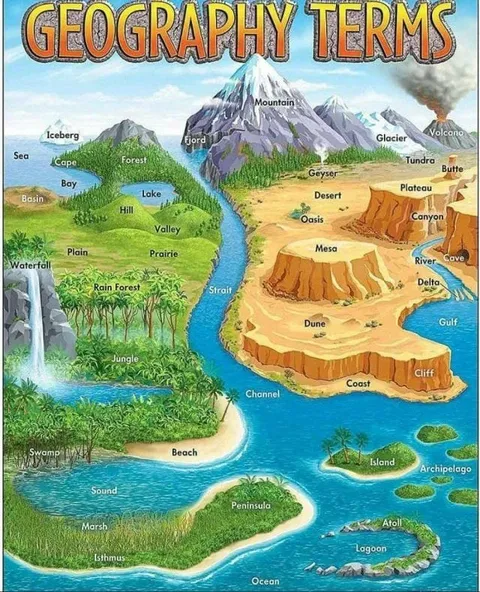
Geography Terms Illustrated Map
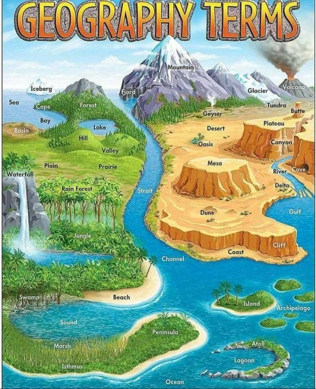
GEOGRAPHY TERMS Iceberg Sea Cape Forest Fjord Mountain Glacier Volcano Tundra Butte Bay Basin Lake Hill Valley Prairie Plain Waterfall Rain Forest River Desert Geyser Oasis Plateau Canyon Mesa Cave Delta Gulf Jungle Strait Dune Cliff Channel Coast Beach Swamp Island Archipelago Sound Marsh Peninsula Atoll Lagoon Isthmus Ocean
An illustrated map presents geography terms by labeling mountains, forests, deserts, coasts, islands, and other landforms and bodies of water. The joke is educational and mildly overwhelming: it turns a large vocabulary lesson into one densely packed visual reference, suitable for studying or joking about geography class. EN: An illustrated map presents geography terms by labeling mountains, forests, deserts, coasts, islands, and other landforms and bodies of water. The joke is educational and mildly overwhelming: it turns a large vocabulary lesson into one densely packed visual reference, suitable for studying or joking about geography class.
illustrated map / иллюстрированная картаmountain / гораforest / лесrainforest / тропический лесdesert / пустыняriver / рекаlake / озероocean / океанsea / мореwaterfall / водопадvolcano / вулканglacier / ледникiceberg / айсбергisland / островarchipelago / архипелагcanyon / каньонplateau / платоcoast / побережьеbeach / пляжjungle / джунгли
- @about50posts / 7633 2021-07-30
- Type
- image
- Size
- 640×789 · 166.2 KiB
- Mood
- educational, overwhelming
- Language
- en
- Added