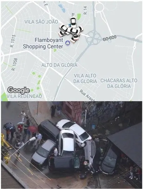
Engarrafamento no mapa
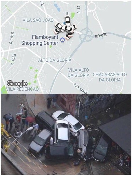
VILA SÃO JOÃO R. 1015 Flamboyant Shopping Center AV R. 14 GO-020 R. 1058 ALTO DA GLÓRIA VILA ALTO DA GLÓRIA CHÁCARAS ALTO DA GLÓRIA Rua Araxá VILA REDENÇÃO
A parte superior mostra um mapa com vários ícones de carros amontoados perto do Flamboyant Shopping Center, enquanto a parte inferior mostra vários carros realmente empilhados após uma colisão. A piada é que o mapa parece prever ou representar literalmente o acidente, sendo usada como reação a um engavetamento ou a uma situação caótica no trânsito. EN: The top shows a map with several car icons piled up near Flamboyant Shopping Center, while the bottom shows several cars actually stacked after a collision. The joke is that the map seems to predict or literally represent the accident, making this useful as a reaction to a pileup or a chaotic traffic situation.
- @afrosidemoon / 11898 2019-04-16
- @about50posts / 4722 2020-03-26
- Type
- image
- Size
- 456×604 · 60.8 KiB
- Mood
- absurdo, caótico
- Language
- pt
- Added