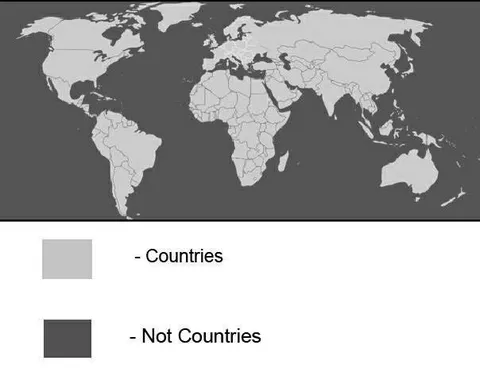
Map of Countries and Not Countries
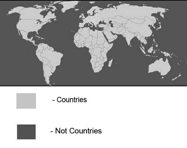
- Countries - Not Countries
A grayscale world map uses a light shade for countries and a dark shade for areas labeled “Not Countries.” The joke is a deliberately simplistic or absurd classification of the world map, often used as a reaction to pedantic geography takes or arbitrary distinctions.
world map / карта мираcountry borders / границы странcontinents / континентыocean / океанlegend / легендаlight gray square / светло-серый квадратdark gray square / тёмно-серый квадратNorth America / Северная АмерикаSouth America / Южная АмерикаEurope / ЕвропаAfrica / АфрикаAsia / АзияAustralia / АвстралияAntarctica / Антарктида
- @afrosidemoon / 282 2018-02-15
- @about50posts / 859 2018-02-20
- Type
- image
- Size
- 604×478 · 25.6 KiB
- Mood
- absurd, sarcastic
- Language
- en
- Added