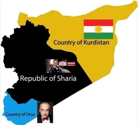
Карта стран Курдистана, Шария и Друза
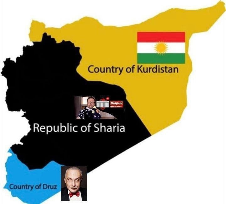
Country of Kurdistan Republic of Sharia Country of Druz
Сатирическая карта, на которой территории разделены на «Country of Kurdistan», «Republic of Sharia» и «Country of Druz». Вставленные изображения Анатолия Шария и Владимира Путина превращают геополитическую карту в абсурдную шутку о личных «государствах» и политических ассоциациях. EN: A satirical map dividing the territories into “Country of Kurdistan,” “Republic of Sharia,” and “Country of Druz.” Inserted images of Anatoly Shariy and Vladimir Putin turn the geopolitical map into an absurd joke about personal “countries” and political associations.
map silhouette / силуэт картыyellow territory / жёлтая территорияblack territory / чёрная территорияblue territory / синяя территорияKurdistan flag / флаг Курдистанаred-yellow-green flag / красно-жёлто-зелёный флагman with glasses / мужчина в очкахbald man in a bow tie / лысый мужчина в бабочкеpolitical map labels / подписи на политической карте
- @dustinthehead / 23942 2024-12-16
- Type
- image
- Size
- 720×651 · 36.4 KiB
- Mood
- саркастичный, абсурдный
- Language
- en
- Added