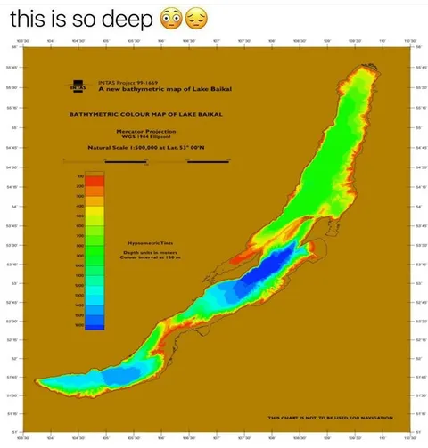
This Is So Deep Lake Baikal
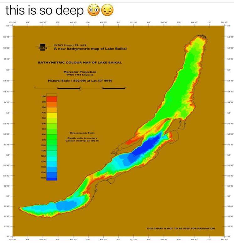
this is so deep 😳😔 INTAS Project 99-1669 A new bathymetric map of Lake Baikal BATHYMETRIC COLOUR MAP OF LAKE BAIKAL Mercator Projection WGS (1984) Ellipsoid Natural Scale 1:500,000 at Lat. 53° 00'N Hypsometric Tints Depth units in meters Colour interval at 100 m THIS CHART IS NOT TO BE USED FOR NAVIGATION
A colorful bathymetric map shows the long, deep shape of Lake Baikal, topped with the caption “this is so deep” and embarrassed, weary emojis. The joke is a literal pun on the lake’s extreme depth, presented as an overly serious reaction image. EN: A colorful bathymetric map shows the long, deep shape of Lake Baikal, topped with the caption “this is so deep” and embarrassed, weary emojis. The joke is a literal pun on the lake’s extreme depth, presented as an overly serious reaction image.
bathymetric map / батиметрическая картаLake Baikal / озеро Байкалdepth scale / шкала глубиныcolored depth zones / цветные зоны глубиныmap coordinates / координаты картыlegend / легенда картыgreen area / зелёная областьblue area / синяя областьyellow area / жёлтая областьred area / красная областьbrown background / коричневый фонcartographic labels / картографические подписиemojis / эмодзи
- @memetutorial / 8625 2017-08-23
- Type
- image
- Size
- 746×782 · 66.0 KiB
- Mood
- sarcastic, absurd
- Language
- en
- Added