What Goes On Here Map
What goes on here? COLORADO KANSAS Wichita MISSOURI Bartlesville Enid Tulsa OKLAHOMA Muskogee OKLAHOMA CITY Norman McAlester Lawton Durant Amarillo Lubbock NEW MEXICO TEXAS Ft Worth Dallas Abilene ARKANSAS
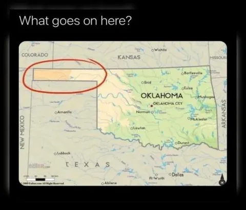
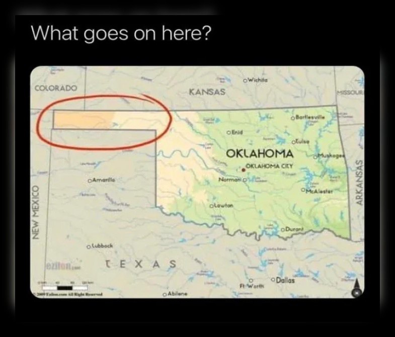
A map of Oklahoma and the surrounding states has a long, narrow section of land highlighted in red near the Oklahoma–Colorado border. The question points out the strange shape and confusing state boundary, making the image a reaction to something inexplicable or bizarre. EN: A map of Oklahoma and the surrounding states has a long, narrow section of land highlighted in red near the Oklahoma–Colorado border. The question points out the strange shape and confusing state boundary, making the image a reaction to something inexplicable or bizarre.
map / картаstate borders / границы штатовred oval / красный овалhighlighted strip of land / выделенная полоса землиOklahoma / ОклахомаTexas / ТехасColorado / КолорадоKansas / КанзасNew Mexico / Нью-МексикоMissouri / МиссуриArkansas / Арканзасcity labels / подписи городовblack background / чёрный фон
- @eternalclassic / 37896 2023-08-28
- Type
- image
- Size
- 785×670 · 63.2 KiB
- Mood
- confused, absurd
- Language
- en
- Added