Ukraine Map of the Future
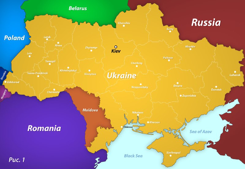
Belarus Russia Poland Ukraine Romania Moldova Kiev Lutsk Rivne Zhytomyr Lviv Ternopil Ivano-Frankivsk Uzhhorod Khmelnytskyi Vinnytsia Chernivtsi Chernihiv Sumy Kharkiv Poltava Cherkasy Kropyvnytskyi Dnipro Zaporizhia Donetsk Luhansk Mykolaiv Kherson Odessa Simferopol Sea of Azov Black Sea Рис. 1
A bright stylized map shows Ukraine surrounded by neighboring countries, with Crimea and the southeastern regions included in the depicted Ukrainian territory. The map is labeled “Рис. 1” (“Figure 1”), presenting an imagined optimistic territorial future as part of a political joke. EN: A bright stylized map shows Ukraine surrounded by neighboring countries, with Crimea and the southeastern regions included in the depicted Ukrainian territory. The map is labeled “Рис. 1” (“Figure 1”), presenting an imagined optimistic territorial future as part of a political joke.
map / картаUkraine / Украинаneighboring countries / соседние страныcountry borders / границы странregional borders / границы областейcity labels / названия городовCrimea / КрымBlack Sea / Чёрное мореSea of Azov / Азовское мореyellow landmass / жёлтая территорияblue sea / синее мореgreen Belarus / зелёная Белоруссияred Russia / красная Россияpurple Romania / фиолетовая Румынияorange Moldova / оранжевая Молдавияlocation marker / маркер местоположенияcoastline / береговая линияРис. 1 label / надпись «Рис. 1»
- @pokupkabitka / 11988 2022-07-28
- Type
- image
- Size
- 800×551 · 63.6 KiB
- Mood
- sarcastic, political
- Language
- en
- Added