Recovery Drones Over the Ocean
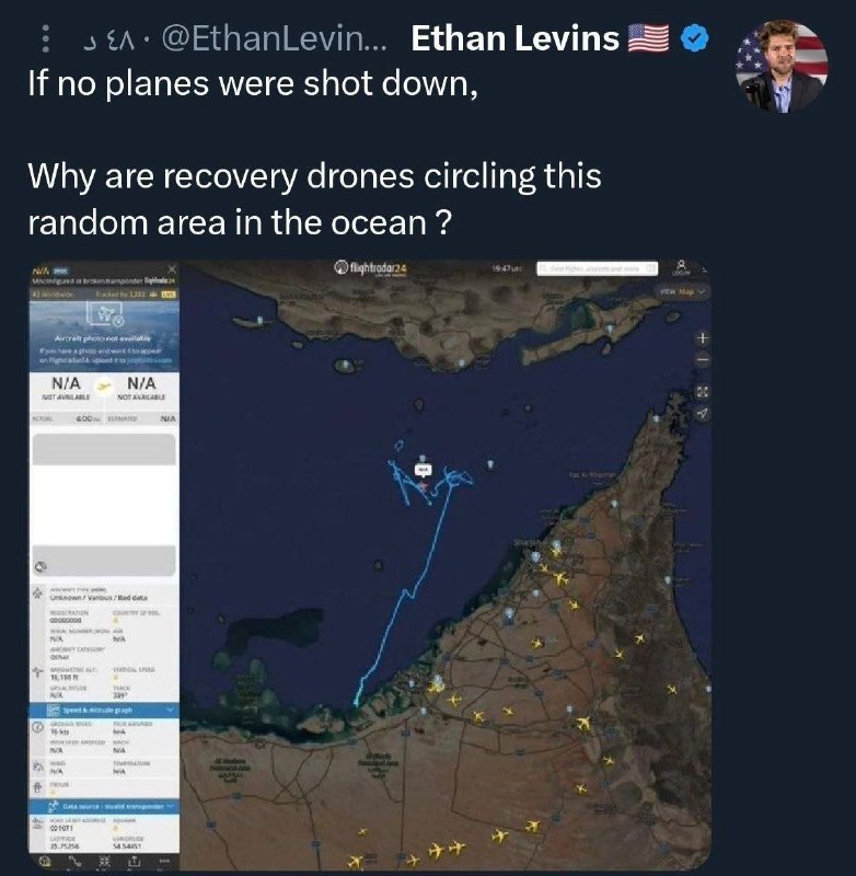
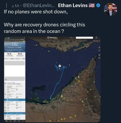
If no planes were shot down, Why are recovery drones circling this random area in the ocean ?
A screenshot of Ethan Levins’ post shows a flight-tracking map with aircraft and a blue flight path over the ocean. The joke sarcastically questions the Pentagon’s denial that a plane was shot down by pointing to recovery drones circling the area. It is used as a reaction to alleged military cover-ups or obviously suspicious explanations.
man in profile photo / мужчина на фотографии профиляAmerican flag / американский флагverified badge / значок верификацииsocial media post / публикация в соцсетиflight-tracking map / карта отслеживания полётовocean / океанcoastline / береговая линияisland / островaircraft icons / значки самолётовblue flight path / синий маршрут полётаrecovery drone / поисковый дронmap interface / интерфейс карты
- @antichirst / 22192 2026-04-03
- Type
- image
- Size
- 782×800 · 94.7 KiB
- Mood
- sarcastic, suspicious
- Language
- en
- Added