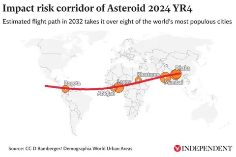
Asteroid Impact Risk Corridor
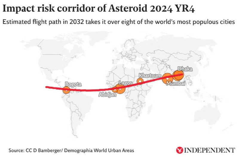
Impact risk corridor of Asteroid 2024 YR₄ Estimated flight path in 2032 takes it over eight of the world's most populous cities Bogota Abidjan Lagos Khartoum Mumbai Dhaka Source: CC D Bamberger/ Demographia World Urban Areas
A map shows the projected 2032 flight path of asteroid 2024 YR₄ crossing a red impact-risk corridor over major cities including Bogotá, Abidjan, Lagos, Khartoum, Mumbai, and Dhaka. The meme-like humor comes from presenting a frightening asteroid trajectory in a matter-of-fact infographic, making it suitable as an absurd reaction to catastrophic news or bad luck.
world map / карта мираasteroid trajectory line / линия траектории астероидаimpact-risk markers / маркеры риска столкновенияcity labels / подписи городовorange circles / оранжевые кругиred line / красная линияcontinent outlines / очертания континентовinfographic / инфографикаasteroid path / путь астероидаpopulation map / карта населения
- @antichirst / 18949 2025-02-19
- Type
- image
- Size
- 800×533 · 48.3 KiB
- Mood
- darkly humorous
- Language
- en
- Added