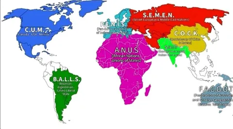
The World According to Acronyms
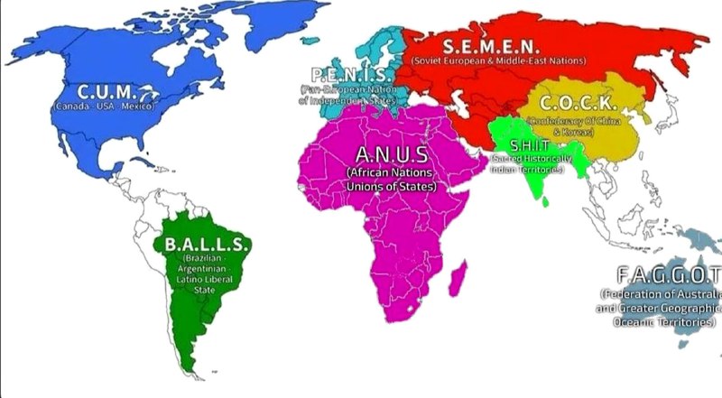
C.U.M. (Canada · USA · Mexico) B.A.L.L.S. (Brazil Argentinian Latino-Liberal State) P.E.N.I.S. (Pan-European Nation of Independent States) S.E.M.E.N. (Soviet European & Middle-East Nations) A.N.U.S (African Nations United States) C.O.C.K. (Confederacy Of China & Korea) S.H.I.T. (Sudeten Historical Indian territories) F.A.G.C.O.T. (Federation of Australian and Greater Oceanic Territories)
A distorted political map divides the world into regions whose names form crude English acronyms such as C.U.M., P.E.N.I.S., A.N.U.S., and C.O.C.K. The joke is the childish wordplay hidden in supposedly geopolitical abbreviations, making the image useful as an absurd or immature reaction meme.
political map / политическая картаNorth America / Северная АмерикаSouth America / Южная АмерикаEurope / ЕвропаAfrica / АфрикаAsia / АзияAustralia / Австралияcolored countries / раскрашенные страныblue region / синяя областьred region / красная областьmagenta region / пурпурная областьgreen region / зелёная областьyellow region / жёлтая областьgeographical labels / географические подписи
- @afrosidemoon / 70799 2025-03-05
- Type
- image
- Size
- 800×441 · 64.0 KiB
- Mood
- absurd, juvenile
- Language
- en
- Added