United States Takes Over North America
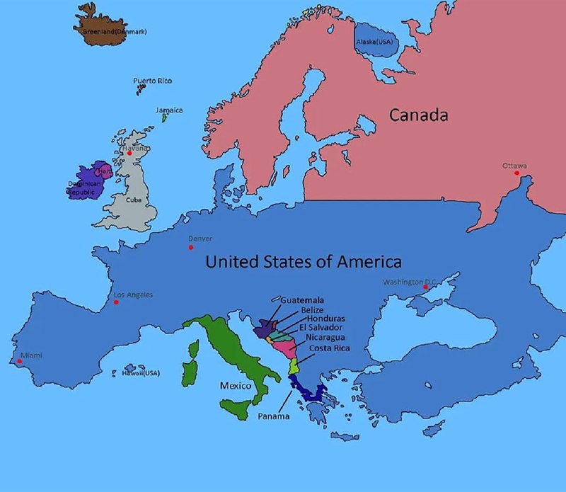
Greenland(Denmark) Alaska (USA) Puerto Rico Jamaica Canada Haiti Dominican Republic Havana Cuba Ottawa Denver United States of America Los Angeles Washington D.C. Miami Hawaii(USA) Guatemala Belize Honduras El Salvador Nicaragua Costa Rica Mexico Panama
A distorted map of North and Central America shows the United States occupying almost the entire continent, while Canada is pushed to the top and Central American countries are compressed into tiny strips. The joke is the absurd exaggeration of U.S. size and dominance, making it useful as a reaction to American cultural or geopolitical influence. EN: A distorted map of North and Central America shows the United States occupying almost the entire continent, while Canada is pushed to the top and Central American countries are compressed into tiny strips. The joke is the absurd exaggeration of U.S. size and dominance, making it useful as a reaction to American cultural or geopolitical influence.
political map / политическая картаNorth America / Северная АмерикаUnited States / Соединённые ШтатыCanada / КанадаMexico / МексикаCentral America / Центральная АмерикаCaribbean islands / Карибские островаGreenland / ГренландияAlaska / АляскаHawaii / Гавайиocean / океанcountry labels / подписи странcity markers / обозначения городовdistorted borders / искажённые границыblue map region / синяя область картыpink map region / розовая область карты
- @afrosidemoon / 41967 2021-08-16
- Type
- image
- Size
- 800×695 · 72.5 KiB
- Mood
- absurd, satirical
- Language
- en
- Added