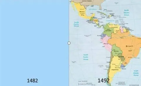
1482 vs 1492 Map Challenge
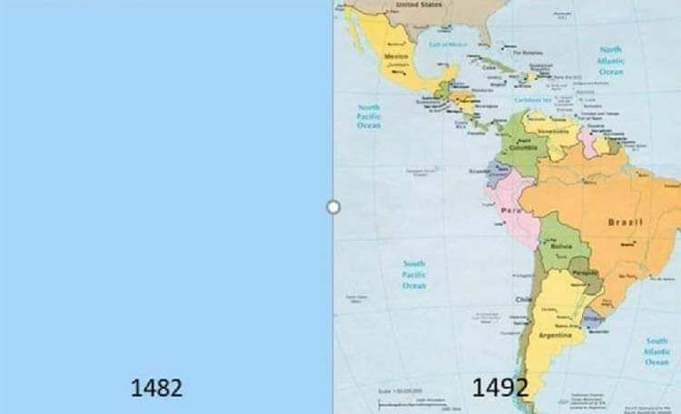
1482 1492 United States Canada Mexico North Atlantic Ocean North Pacific Ocean South Pacific Ocean South Atlantic Ocean Brazil Argentina Chile Peru Bolivia Paraguay Uruguay Colombia Venezuela Ecuador Panama Caribbean Sea
A map comparison shows a blank blue panel labeled “1482” beside a map of the Americas labeled “1492.” The joke treats the sudden appearance of the Americas as an exaggerated ten-year transformation for the #10yearschallenge, referencing the European discovery and mapping of the New World. EN: A map comparison shows a blank blue panel labeled “1482” beside a map of the Americas labeled “1492.” The joke treats the sudden appearance of the Americas as an exaggerated ten-year transformation for the #10yearschallenge, referencing the European discovery and mapping of the New World.
map / картаblank blue panel / пустая синяя панельmap of North and South America / карта Северной и Южной Америкиcountry borders / границы странocean labels / названия океановyear label 1482 / подпись 1482 годаyear label 1492 / подпись 1492 годаUnited States / СШАCanada / КанадаMexico / МексикаBrazil / БразилияArgentina / АргентинаChile / ЧилиPeru / ПеруColombia / КолумбияVenezuela / ВенесуэлаPanama / ПанамаCaribbean Sea / Карибское море
- @afrosidemoon / 7965 2019-01-17
- Template
- 10 Year Challenge
- Type
- image
- Size
- 750×456 · 20.9 KiB
- Mood
- historical absurdity
- Language
- en
- Added