Alabama Coastline Election Results
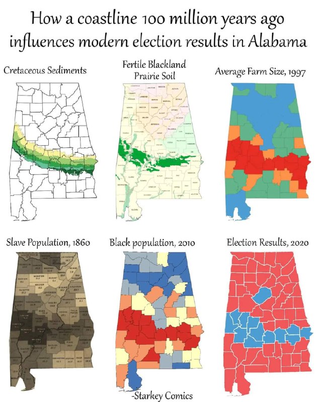
How a coastline 100 million years ago influences modern election results in Alabama Cretaceous Sediments Fertile Blackland Prairie Soil Average Farm Size, 1997 Slave Population, 1860 Black population, 2010 Election Results, 2020
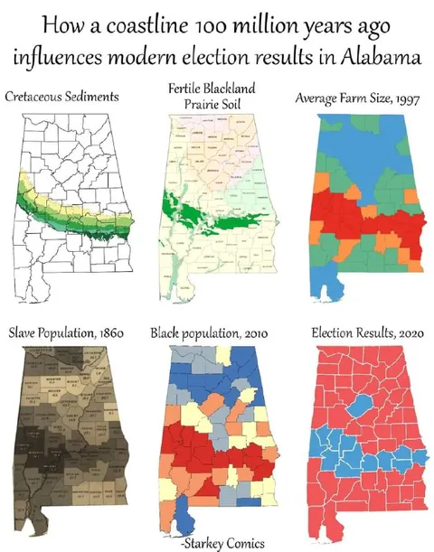
A six-panel infographic compares Alabama’s ancient Cretaceous sediment belt with fertile soil, farm size, historical slave population, Black population, and the 2020 election map. The joke is that geological conditions shaped agriculture and settlement patterns, which influenced demographics and ultimately modern political voting patterns. It is shared as an ironic explanation of how deep historical and environmental factors can affect present-day elections.
Alabama maps / карты Алабамыgeological sediment map / карта геологических отложенийfertile soil map / карта плодородной почвыfarm-size map / карта размеров фермslave population map / карта численности рабовBlack population map / карта чернокожего населенияelection results map / карта результатов выборовcounty borders / границы округовgreen belt / зелёный поясred counties / красные округаblue counties / синие округаorange counties / оранжевые округаinfographic panels / панели инфографики
- @rzeczyzabawne / 16775 2024-06-01
- Type
- image
- Size
- 628×800 · 105.9 KiB
- Mood
- informative, ironic
- Language
- en
- Added