Election Map by Party Voters
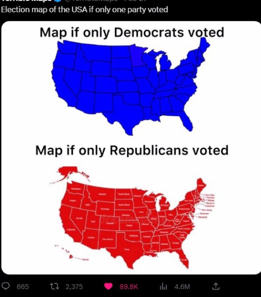
Election map of the USA if only one party voted Map if only Democrats voted Map if only Republicans voted
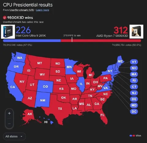
A two-panel political map compares what the United States would look like if only Democrats or only Republicans voted. The joke highlights the stark geographic divide between the parties, with Democrats covering the map in blue and Republicans covering it in red. It is used as a reaction to partisan polarization and election debates.
map / картаUnited States outline / контур СШАblue states / синие штатыred states / красные штатыstate borders / границы штатовDemocratic Party map / карта Демократической партииRepublican Party map / карта Республиканской партииAlaska / АляскаHawaii / Гавайиwhite background / белый фонpolitical infographic / политическая инфографикаsocial media screenshot / скриншот соцсети
- @eternalclassic / 28652 2023-03-01
- Type
- image
- Size
- 530×603 · 44.5 KiB
- Mood
- satirical
- Language
- en
- Added