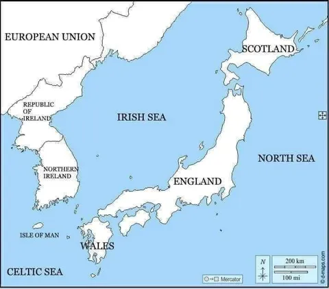
Confusing British Isles Map
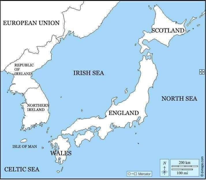
EUROPEAN UNION REPUBLIC OF IRELAND IRISH SEA SCOTLAND NORTHERN IRELAND ENGLAND NORTH SEA ISLE OF MAN WALES CELTIC SEA
A labeled map of the British Isles and surrounding waters shows England, Scotland, Wales, Northern Ireland, the Republic of Ireland, and the Isle of Man, while the area above Ireland is labeled “EUROPEAN UNION.” The joke plays on the political geography and the confusing relationship between the United Kingdom, Ireland, and the European Union, making it useful as a reaction to complicated borders or Brexit discussions.
map / картаislands / островаsea / мореEngland / АнглияScotland / ШотландияWales / УэльсNorthern Ireland / Северная ИрландияRepublic of Ireland / Республика ИрландияEuropean Union / Европейский союзIsle of Man / остров МэнNorth Sea / Северное мореCeltic Sea / Кельтское мореcompass rose / роза ветровmap scale / масштаб картыblue water / синяя вода
- @sbunem / 32581 2022-11-07
- @pokupkabitka / 37365 2024-03-18
- @beobanka / 39896 2024-11-04
- Type
- image
- Size
- 714×626 · 42.7 KiB
- Mood
- absurd, confusing
- Language
- en
- Added